American Studies 335
New England
Roger Williams University
CAS 228
Tuesday and Friday, CAS 228
Fall Semester, 2006
Michael R. H. Swanson, Ph. D.
Office: CAS 110
Hours: T, Th, 11:00 - 12:30
W, 5:30 - 6:30, F, 1:00-2:00
Phone: 254 3230
Due: Tuesday, November 14 (Note Change of Date)
Length: c. 5 pp. Typed, Double Spaced, or its equivalent
Sources:
 Joseph Wood, The New England Village
Internet sources as appropriate
Objective:
To demonstrate you understand the process by which the Colonial New England Village was transformed into the 19th Century New England Village and how that village became an icon or symbol of New England Culture
Instructions: Choose either Option.
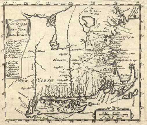
1. Using illustrations like Wood, figures 1.4, 4.3, 4.4, and 4.5, as examples, create a series of three maps which illustrate the development of your own imaginary but typical New England Village. If you're so inclined and feel artistic, draw as well as map it, and then Write a brief history of your town which demonstrates your understanding of the forces which created it and gave it shape.
If you choose this option, you can hand it in in hard copy, bringing it to class on the day due.
Or
2. Write an essay which assesses the importance and sequence of the following factors in the creation of a typical New England Place: (You’ll need to sequence them appropriately. I’ve alphabetized them).
Central Place Development (according to Central Place Theory)
Community Interaction
Industrialism
Land Types
Local/extralocal trade
New England Intellectual Tradition
Topography
Traditional English Agriculture
I'm happy to preview and comment on your ideas... but leave me time to do this effectively... this is a hectic semester for me.While I’m happy to accept either of these options. I’m hoping that a lot of you will choose the first. I’ve conceived the second for those of you who are a little leery of your drafting and artistic talents.
If you choose this option, turn it in on Blackboard, using the usual method.
- Here are a few hints for you regarding option one.
1 Plan your three maps approximately a generation apart. The first should be pre-revolutionary and represent the community near the time of its founding. The map should give indication of why that particular spot was chosen by the community’s founding members. The last of the three should show the village as it might have looked in the mid-nineteenth century. Choose a middle point which allows you to demonstrate some of the factors which made the town grow.
2.Whatever you have a difficulty presenting in drawn form annotate. Do this either with notes on the map itself, or with notes on paper turned in the same time.
- In terms of Option number two:
The key here is to assemble the developments in the table in the order in which they come into importance. For example, the last of the items is actually the first to come into play: Settlers chose locations in which they could practice the skills they already had.